In the last ten years, the emergence of geolocation technology has ushered in a new wave of business models and industries, writes Willem Strijbosch, VP Product Management for Maps at TomTom. Now, there is a huge appetite for precise geospatial data and contemporary mapping technologies, enabling us to decode the world around us.
The ubiquity of location data is undeniable, but far too often it remains locked in its own platform. Developers grapple with the challenge of integrating their data with other systems, which takes away focus from what they should be doing – creating new applications and solving problems for customers. We all felt that there must be a better approach, where map data becomes universally accessible and user-friendly, breaking free from its historical constraints. Imagine the competitive edge developers and businesses can achieve through accessible and easy-to-use location data.
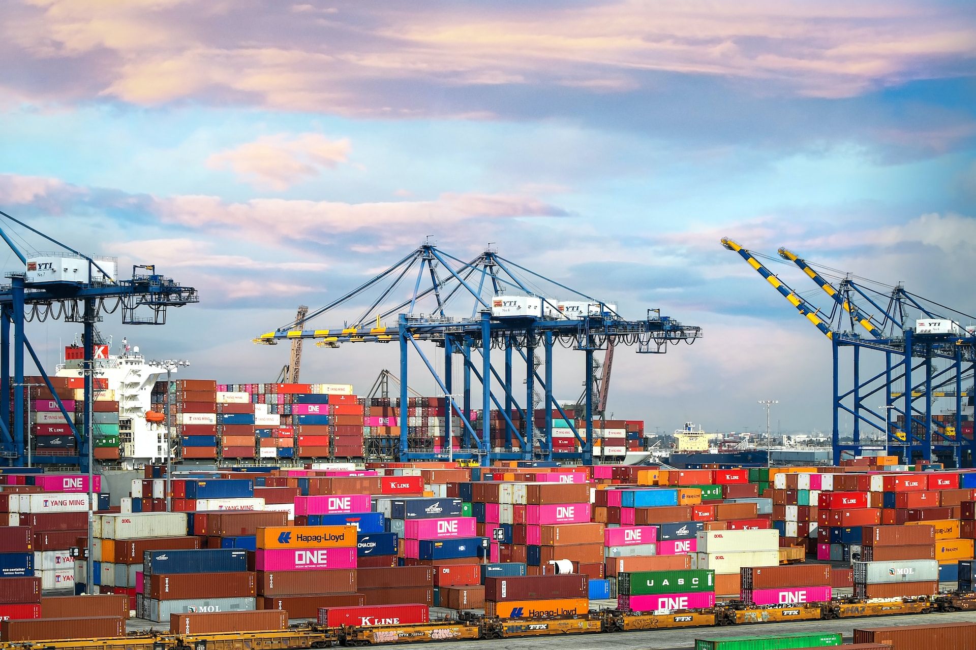
An easier way to understand this is by thinking about shipping containers. You might think it’s a simple invention, but it serves as a great example of how standardization can reshape an entire industry. The global logistics industry hinges upon the interoperability of shipping containers – they revolutionized the movement of goods across continents. This encapsulates the very essence of what modern, global digital mapmaking needs today.

Learning from history's gems
In 1956, a Californian businessman named Malcolm McLean made a decision that would change the global logistics industry forever. McLean invented the standard shipping container, which despite its simplicity, has proved to be one of the most significant inventions ever made. McLean's invention streamlined cargo loading, setting a uniform size and design for containers. Ships loaded them efficiently using standardized machinery, dramatically cutting the cost of transporting goods across the globe.
Standardisation in undoubtedly an important element here, but if businesses must pay to access this standard, the industry will not change fast enough. What made a real difference in McLean's invention was its openness. McLean offered patents through royalty-free leases, enabling shipbuilders, port operators, and logistics firms to craft vessels, trucks, equipment, and tools that worked with these containers. This was the real key here. As more embraced this standard container, global logistics became more efficient and cost-effective.
Now bringing this idea to the geolocation tech industry, handling location data resembles loading non-standard cargo onto non-standard vessels bound for non-standard ports. Each piece of cargo demands scrutiny – its destination, storage, manipulation, and sharing. This process, applied to geolocation tech, calls for standardizing data movement from system to system (or ship to ship), much like McLean's open-handed approach.
The competitive advantages of standardised location data
Modern digital maps are intricate, with masses of data that can be customised for specific needs. One way to think of them is in a series of layers: at the most foundational level is the base map, on top of this other data about traffic, visualisations, routing and Points of Interest (POIs) can be projected.
Engineers gather geospatial data from a myriad of sources, each maintaining data in different formats and structures. Consolidating all this information challenges even the savviest engineers.
Standardisation stands out as the clear solution, but mapmaking and location tech is an expensive pursuit. The question then becomes, how can we standardise geospatial data in the most cost-effective way?
See also: The Big Interview: TomTom CTO Eric Bowman's new vision
The answer – we create a common base map for the world. Before this, companies spent valuable engineering resources to simply make sense of disparate data sources. This same effort was being duplicated by businesses everywhere. If we pool resources, and build a reliable, easy-to-use and interoperable location database that any service provider or developer can use through an open data license, we save time, money, and stress. When companies have access to a free, open base map, the focus shifts to creating valuable map layers and services, driving innovation in the tech sector.
As standardisation transformed global trade, the geolocation industry could witness similar gains. Imagine a world where structured, interconnected geospatial data adheres to a universal standard. This empowers location tech to seamlessly incorporate data, streamline processes, and direct focus toward core products. The impact ripples across the industry, yielding superior, cost-effective products and services for both industry players and consumers.
In today's digital economy, agile mapping solutions are essential. Greater standardization and interoperability pave the way for innovation, growth, and sustained industry competitiveness. As we move towards greater standardization, we unleash the full potential of location data.
